Mt. Rainier Snow Report
Paradise Snow Stake · 5,150 ft · Washington
SNOTEL Station 679 · Updated
Mt. Rainier Current Snow Conditions
Current Conditions
Snow Depth
NWS Snow Forecast
Base — 5-Day Forecast
Longmire · 3,200 ft · Open-MeteoBase — Wind
Longmire · 3,200 ft · 48-hour past & forecastMid-Mountain — 5-Day Forecast
Paradise · 5,400 ft · Open-MeteoMid-Mountain — Wind
Paradise · 5,400 ft · 48-hour past & forecastSummit — 5-Day Forecast
Summit · 14,411 ft · Open-MeteoSummit — Wind
Summit · 14,411 ft · 48-hour past & forecastWind roses show how often wind blows from each direction. Longer petals mean wind came from that direction more frequently. Color shows speed: blue is calm, darker blue is moderate, red is strong.
The timeline arrows point in the direction the wind is blowing toward — the way snow would drift. If you face the direction the arrow points, the wind is at your back.
For skiing: Wind-loaded slopes (leeward side) accumulate deeper but less stable snow. The rose helps identify which aspects have been wind-affected and which will be affected next.
Speed guide: Under 15 mph is comfortable on a chairlift. 15–30 mph causes exposed lifts to slow or hold. 30+ mph typically means upper lift closures and dangerous ridgeline conditions.
Webcams
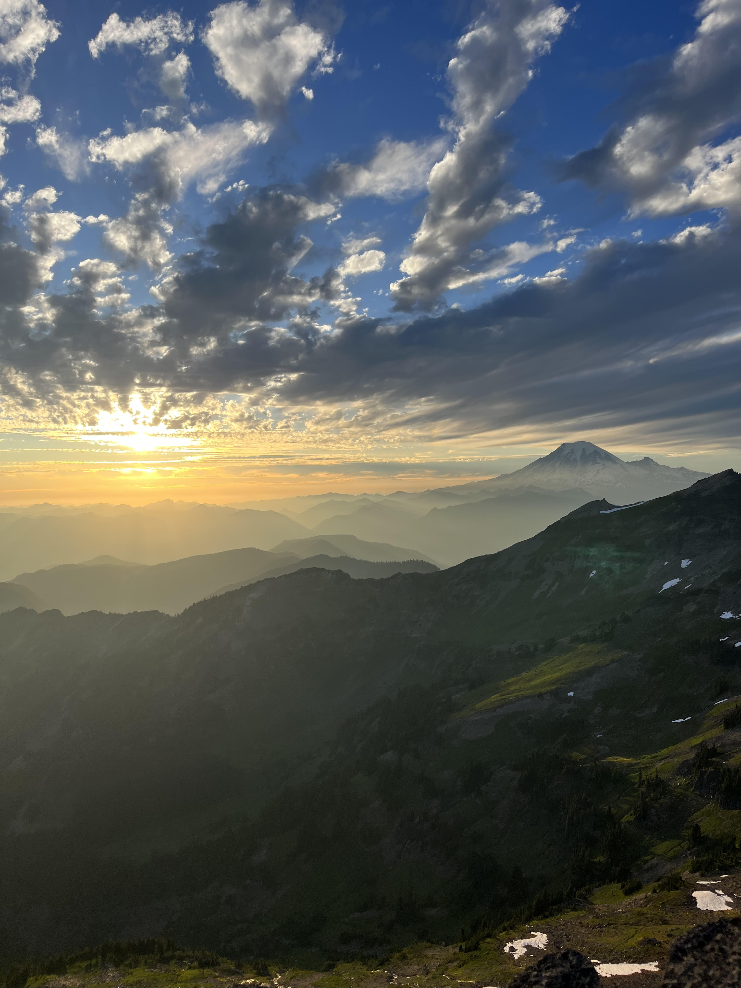
About Mt. Rainier
Snow depth at Mt. Rainier is measured daily by SNOTEL station #679, located at Mt. Rainier, Washington at an elevation of 5,150 ft. This automated sensor is operated by the Natural Resources Conservation Service (NRCS) and has been recording continuous snowpack data since 1979.
This page provides current snow depth, snow water equivalent (SWE), 24-, 48-, and 72-hour new snowfall totals, snow density and quality analysis, and historical season rankings spanning 47+ years of records. Snowpack is ranked against every prior season on record, showing where the current winter stands historically for Mt. Rainier.
The 5-day weather forecast uses Open-Meteo data at three elevation zones: Longmire (3,200 ft), Paradise (5,400 ft), Summit (14,411 ft). Wind speed, direction, and gust data are shown for both the past 48 hours and the next 48 hours at each elevation, with interactive wind rose visualizations.
Following the Northwest River Forecast Center’s (NWRFC) discontinuation of snow depth and snow density graphs in June 2025, Cascade Snow provides a free, daily-updated alternative with interactive historical charts and comprehensive snowpack analysis for Washington’s Cascade mountains. All data is sourced directly from Natural Resources Conservation Service (NRCS) sensors and updated automatically each morning.